On Saturday, September 19, heavy fog sat over the Peninsula Watershed. The trailhead parking lot for the new Skyline Watershed Ridge Trail was still full by 7 a.m. Two visitors drove down from San Francisco and got there around 10:30. They parked on the shoulder of Skyline Boulevard and walked along the road to the gate. One visitor's read on the day was simple: "Maybe on a sunnier day it would be worse."
That trail opened on August 24. A week earlier, on August 17, San Mateo County opened Don Horsley County Park at Tunitas Creek Beach on Highway 1. Both drew crowds right away. Each site's design sets what limits your visit, though. On the ridge it's a small lot at a single trailhead. At the beach it's a closing time that moves earlier through the fall.
A permit that doesn't cap anything
The San Francisco Public Utilities Commission requires a permit for the Skyline Watershed Ridge Trail. The SFPUC's FAQ describes it this way: the permit is free, works right away, and is good for the whole calendar year. Each permit holder can bring up to six guests, and guests don't have to register. You don't show the permit to enter the lot or put it on your dashboard. A confirmation email or a screenshot is enough if watershed staff on the trail ask. The Chronicle reported you can sign up at the trailhead itself, and the SFPUC doesn't limit how many permits it issues.
So the permit doesn't limit how many people show up. The trail layout does. The trailhead sits on Highway 35, just south of the Highway 92 intersection and Skylawn Memorial Park. It's the only way on or off. The trail runs six miles one way with about 1,500 feet of gain heading south, and it ends without linking to Phleger Estate, Purisima Creek Redwoods Preserve or any other park. Everyone starts and finishes at one gravel lot. It has 22 standard spaces, five trailer spaces and two accessible spaces, and it's open 6 a.m. to 6 p.m.
A 12-mile round trip with real climbing takes most of a morning. Each car that gets a space stays put for hours. With 22 spaces, the lot fills with the first wave of hikers and doesn't open up much until they come back down.
What the overflow looks like on Highways 35 and 92
The Almanac photographed the trailhead on Saturday, September 12. Cars lined the right shoulder of Skyline Boulevard, and visitors, including children, were crossing the highway and weaving around traffic to reach the gate. There are no marked pedestrian crossings on either road. According to CHP, the speed limit on that stretch of Highway 92 is marked at 55 mph.
Supervisor Ray Mueller's district includes Tunitas Creek Beach. He wrote to the SFPUC about vehicles parked over the shoulder line, people walking along and running across the road, parking in vegetation, and litter. He also asked whether the guest allowance brings in more people than the site can handle. He told the Chronicle:
"Maybe the permits should specify more clearly the time of day and the date. We really need some control over capacity."
Shoulder parking near the trailhead isn't illegal right now. The Chronicle reported CHP hadn't written any citations, partly because there are no "no parking" signs around the lot. At the SFPUC's request, CHP and Caltrans are studying where no-parking signs could go. Caltrans makes the final call, and CHP would enforce any zones. Caltrans told The Almanac that no specific changes or signs had been finalized. As of early October, no new signs or permit changes had been announced. The SFPUC's own guidance hasn't changed. It says weekends are very busy right now, suggests a weekday visit, and asks you to try a different trail if the lot is full. The rules could change any week, so check the trail page before a weekend trip.
Tunitas started with the opposite problem
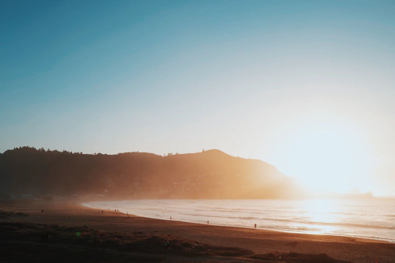
The beach at Tunitas Creek was always public. What it didn't have was an official way down. People got to the sand on a web of unofficial trails, and the area became known for parties, illegal camping, litter and damage to the creek delta. Peninsula Open Space Trust bought the property in November 2017 at the urging of then-Supervisor Don Horsley. POST then worked with San Mateo County Parks on the park that opened this August. The project cost about $24 million. More than $12 million came from gifts to POST, including from the Gordon and Betty Moore Foundation.
Because the job was replacing informal access, the County built in room up front. There's bluff-top parking for up to 80 vehicles, restrooms, and picnic sites for groups. From the lot, the accessible Mid-Bluff Trail runs half a mile to the overlook. From there, the John Pitcher Trail drops 0.1 mile to the beach. The Schilling Trail takes a longer 0.6-mile route from the parking lot straight to the sand. Coastside News describes the descent as somewhat steep, with wooden stairs. The accessible route stops at the mid-bluff, so wheelchair users can reach the overlook but not the sand.
Since opening, there have been no reported parking problems at Tunitas like the ones on Skyline. In a September 22 update about joint rescue training on site, the County said the park is "already becoming a popular destination." Visitors here are limited by the clock and the rules more than by parking.
| Tunitas Creek Beach | Skyline Watershed Ridge Trail | |
|---|---|---|
| Opened | Aug. 17, 2026 | Aug. 24, 2026 |
| Entry | Free, no permit | Free annual permit, up to six guests |
| Parking | Up to 80 vehicles on the bluff | 22 standard, 5 trailer, 2 accessible |
| Hours | Opens 8 a.m., closing time changes by season | 6 a.m. to 6 p.m. daily |
| Dogs | Not allowed | Not allowed, including on leash |
| Water | No drinking water | No drinking water |
| Restrooms | At the park | Vault toilets near miles 2 and 5 only |
The beach closes earlier each month this fall
Tunitas opens at 8 a.m. every day of the year. The County says closing time changes with the season and points visitors to its website and the signs posted at the park. A published 2026 schedule lists three fall cutoffs: 7 p.m. through October 11, 6 p.m. from October 12 through November 1, and 5 p.m. from November 2 into February 2027. Check the signs at the lot before you rely on those times. If the schedule holds, the gates close an hour earlier starting October 12, the same Monday as the Half Moon Bay pumpkin weigh-off up the coast.
Fall conditions on the sand matter too. The County's September 28 advisory warns that bluffs can be unstable during and after wet weather, and asks people not to walk on the beach directly beneath them. An October 1 advisory reports sick and dead birds along San Mateo County beaches and asks visitors not to touch injured or dead wildlife. Parts of the beach are fenced off to protect western snowy plover habitat. The species winters on this beach, near the Tunitas Creek estuary at the north end. Palo Alto Online's opening-week guide notes the creek usually forms a lagoon behind a sandbar in summer and breaks through to the ocean in winter. You'll likely see the mouth change as the rains come.
The Tunitas rules are stricter than general County park rules. Countywide rules allow beer and wine, but Tunitas bans all alcohol. Fires, fireworks, amplified music, smoking and overnight camping are also banned. No lifeguards are on duty.
Planning a fall weekend around both
Each site's limit points to a different strategy. For the ridge, timing your arrival matters most. At the beach, watch the closing time.
- Get your Skyline permit at home. It's free and works immediately.
- Visit the ridge on a weekday, or arrive well before 7 a.m. on a weekend. The gate opens at 6, and a foggy Saturday in September was already full by 7.
- Have a backup if the lot is full. The older Fifield-Cahill Ridge Trail, north of Highway 92 on SFPUC land, is open only on guided outings on Wednesdays, Saturdays and Sundays. Groups are capped at 20, and one reservation covers up to five people. The SFPUC also built the half-mile Watershed Discovery Trail next to it. It's accessible for people with disabilities, has tactile models of watershed wildlife, and is explored on docent-led outings.
- Save Tunitas for the afternoon and watch the clock. After October 12, a sunset picnic gets tighter if the 6 p.m. close holds.
- Pack for both sites. Bring water, take your trash home, and leave the dog at home. Neither place has drinking water, and neither allows dogs. Skyline has no trash cans.
The ridge trail may get a second way in eventually. The SFPUC says a connection to the Purisima Creek Redwoods Preserve North trailhead is in the planning stages. For now, all 12 miles start and end at one 22-space lot on Skyline Boulevard.
Chris A. Sabido has helped Peninsula families since 2005. Part of that is keeping up with how places like Tunitas Creek and the Skyline ridge fit into everyday life here. If you're thinking about a home where the coast and the watershed trails are an easy weekend trip, Chris can walk you through how each part of the county lines up with them. Book an Appointment to start that conversation.
This article is general information, not legal, tax or financial advice. Consult a qualified professional about your situation.